
 23 photos
0000 5th Rd
Raymond, KS 67573
Price
$29,900Acreage
6.1 acresPrice per acre
$4,902Status
For saleListed
Aug 6, 2026Facts below are what the listing agent stated. LandAuthority does not verify them, and a fact that is missing is shown as unknown rather than left blank. Unknown never means no.
Property facts
- Price
- $29,900
- Status
- For sale
- Property type
- Land & lots
- Lot size
- 6.1 acres
- County
- Rice County
- MLS #
- 11939636
Description
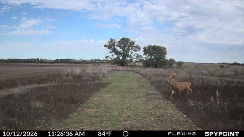
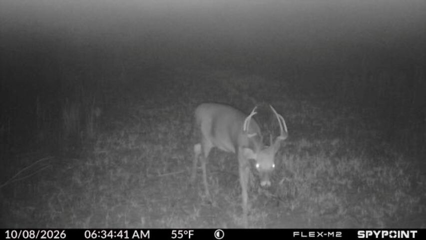
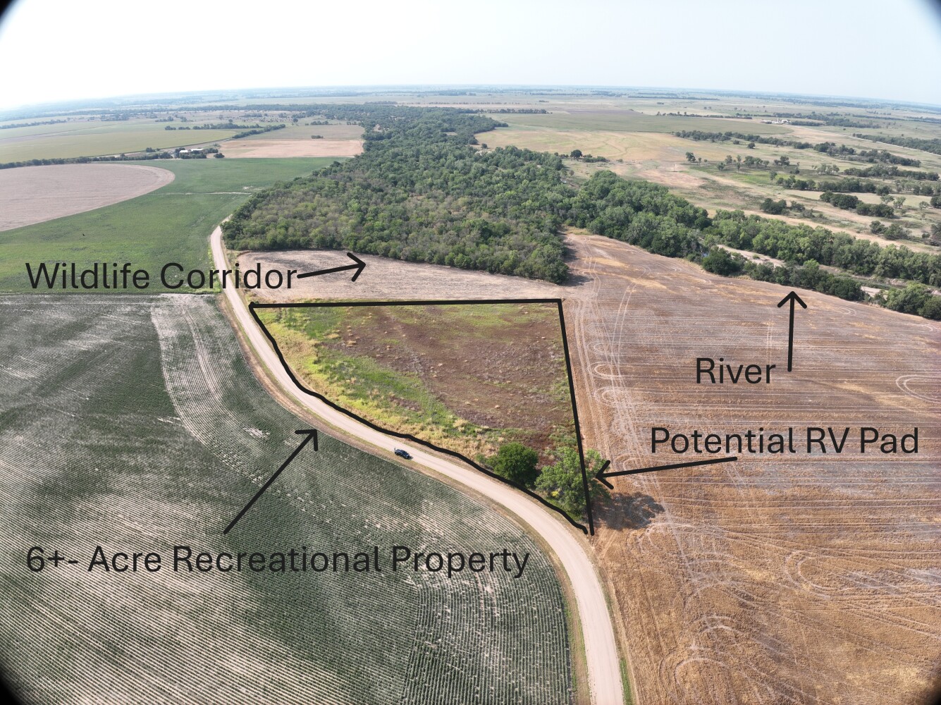
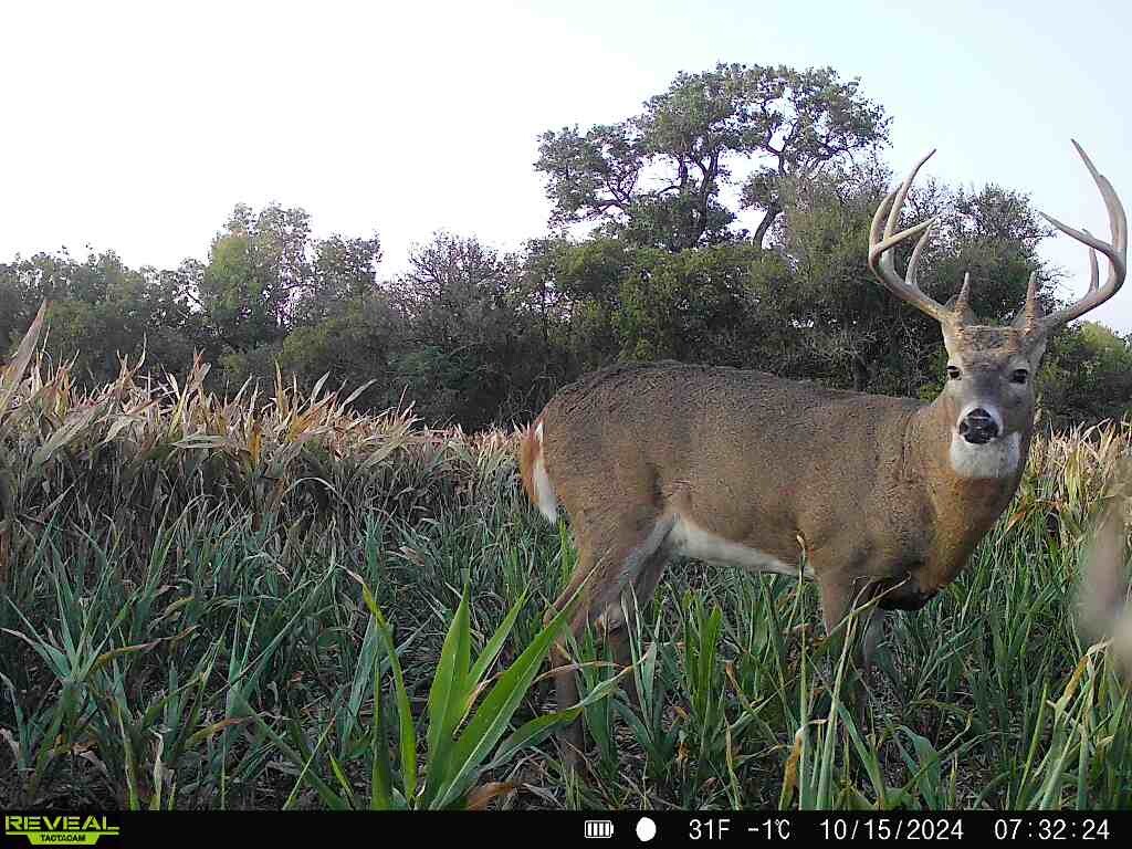
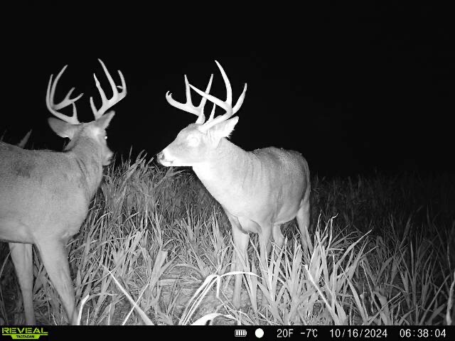
LAND: Food Plots are working, drawing in deer now. 6.1±-acre property is located in Rice County, Kansas. Recreational and hunting potential. This tract provides an accessible entry into land ownership. Larger recreational and hunting properties often require substantial investment. DEER: The property was recently sowed with oats, peas, and brassicas, a winter mix for deer. This provides a head start on attracting local wildlife. Game camera photos show deer near the southwest corner. These deer were attracted to a neighboring fall corn crop. CAMPING: A stand of trees is located at the road, in the NW corner. This area is suitable for an RV pad. PROXIMITY: An established tree line sits approximately 30 yards from the boundary. The Arkansas River is just beyond this tree line. This proximity provides nearby habitat and travel cover for wildlife. Accessing the bordering land requires permission from bordering landowners. HABITAT: Improvement potential exists to encourage deer and other wildlife. Add food plots and native grasses. Consider fir tree screening cover and bedding habitat. Water sources and a deer stand can enhance the property. Transform the acreage into a small hunting and recreational retreat. LOCATION: The property is approximately 11/2 miles south of Raymond, Kansas. It is located near the Arkansas River. Wichita Eisenhower National Airport (ICT) is about a 11/2-hour drive. Great Bend offers motels, meals, supplies, and hunting gear.
Supplied by the listing agent and shown without edit.
Check these yourself before you buy
None of these can be settled by a listing description. Each one names who can answer it.
- Boundaries and cornersAsk: a licensed surveyor, not a listing map or a phone app
- Legal accessAsk: a title company, plus the county recorder for recorded easements
- Zoning and permitted usesAsk: the county planning department, in writing
- Building permission and septic feasibilityAsk: county building and environmental health
- Utilities and the cost to connectAsk: the serving electric and water utilities, by parcel
- Water rights and well permitsAsk: the state water authority
- Flood and wetland exposureAsk: FEMA flood maps, and a wetlands delineation where relevant
- Easements and encumbrancesAsk: a full title report, not a preliminary summary
- Taxes and assessmentsAsk: the county assessor and treasurer
- FinancingAsk: a lender that actually writes raw land loans
General information, not legal, engineering or financial advice.